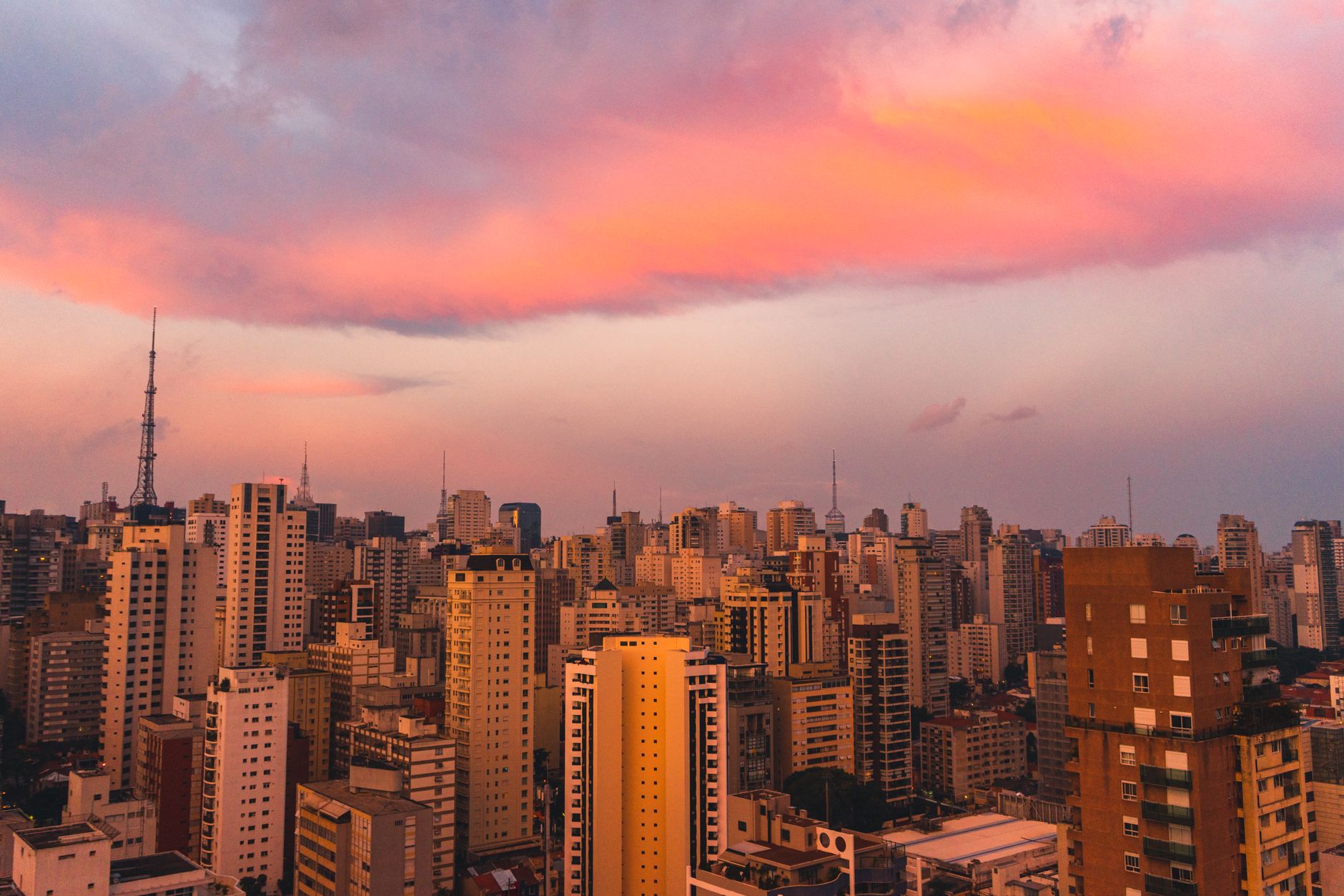
São Paulo is a flat concrete megacity but it is surrounded by some of Brazil's most extraordinary natural environments. The Serra da Cantareira on the northern outskirts protects the world's largest urban forest reserve, the Serra do Mar escarpment drops dramatically from the plateau to the Atlantic coast just 60 kilometres southeast, and the Serra da Bocaina and Itatiaia ranges provide serious mountain hiking within 200 kilometres. Here are the best hiking options near São Paulo for 2026.
Parque Estadual da Cantareira
The Cantareira State Park on São Paulo's northern metropolitan fringe is the world's largest urban forest reserve, protecting 7,916 hectares of Atlantic Forest (Mata Atlântica) that forms part of the water supply system for the city's 22 million residents. The park's trail network provides genuine Atlantic Forest hiking through secondary and primary forest with endemic Atlantic Forest birds (São Paulo Antwren, Mantled Hawk, Saffron Toucanet), brown capuchin monkeys, and coatis commonly observed. The Pedra Grande viewpoint at 1,090m provides views across the São Paulo metropolitan area from above the forest canopy. The park is accessible by bus from Tucuruvi metro station and entrance is free, making it one of the most accessible major natural parks in Latin America.
Serra da Bocaina National Park
The Serra da Bocaina National Park, approximately 200 kilometres from São Paulo near Paraty and São José do Barreiro, protects a section of the Serra da Bocaina plateau at 1,850 metres and the Atlantic Forest from the summit plateau to the coast. The Trilha do Ouro (Gold Trail), a 19th-century mule track used to transport Minas Gerais gold to the port of Paraty, passes through the park and provides one of Brazil's most historically resonant walking experiences through primary Atlantic Forest. The trail from São José do Barreiro to Paraty (approximately 80km, 4-5 days) passes waterfalls, colonial road sections, and descends through the extraordinary gradient from the 1,850m plateau to sea level. Shorter sections from the park's Cunha gate provide day hike options.
Pico do Papagaio and the Mantiqueira Range
The Serra da Mantiqueira, 200 kilometres north of São Paulo near Campos do Jordão (2.5 hours by car or bus), provides the finest mountain hiking accessible from the city. Campos do Jordão at 1,628m is Brazil's highest city and the gateway to the Pico do Papagaio (2,270m) and the Parque Estadual de Campos do Jordão's araucaria pine forest. The Brazilian pine (araucária, Araucaria angustifolia), a prehistoric-looking umbrella-form conifer, dominates the park's landscape in a scene unlike anywhere else in South America. The Pico do Papagaio summit trail (8km return from the park entrance) passes through araucaria forest and open highland campo (grassland) to the distinctive parrot-beak shaped summit with views across the Paraíba valley and the São Paulo plateau.
Practical Guide to Hiking Near São Paulo
The Cantareira State Park is accessible by bus from Tucuruvi metro station (line 1). Campos do Jordão is accessible by Cometa or Passaro Marrom bus from Tietê bus terminal (2.5 hours). The Serra da Bocaina is most easily reached by private car or organized trekking tour. The best hiking season in São Paulo's region is the dry season (April-September), when the trails are firm and the forest is clear; the wet season (October-March) brings heavy afternoon rainfall and makes trails slippery. The Cantareira park is open year-round but trail conditions vary by season.
This article was compiled by AI and screened before publishing. See our editorial standards.