wellness
Where to Walk in São Paulo: Top Walking Trails Rated by Distance and Difficulty
From Ibirapuera Park to the Jaraguá Peak trail, here’s how residents can choose the best walking paths for any fitness level in São Paulo.
How we reported this
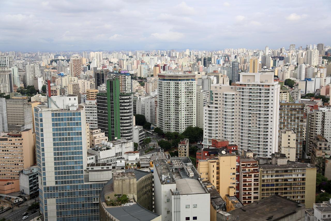
The boom in São Paulo’s urban walking culture is hard to ignore: this winter, record numbers of city dwellers are lacing up their sneakers and heading to local parks, hunting for walking routes that match their fitness ambitions, whether that means a leisurely lap in Vila Mariana or a challenging climb in Parque Estadual do Jaraguá.
Finding the Right Trail: Why It Matters Now
Health experts at Hospital das Clínicas continue to stress the positive impact of moderate daily exercise on São Paulo’s rising rates of hypertension and diabetes. As more Paulistanos seek alternatives to indoor gyms and crowded buses, especially during July’s crisp winter air, demand is surging for detailed, reliable information about safe, accessible urban trails, not just scenic spots, but walking routes sorted by actual difficulty and distance. Many newcomers to outdoor fitness want a clear sense of what they’re getting into before committing to a loop or a park.
Ibirapuera Park remains a flagship destination, drawing runners and walkers year-round. But other neighborhoods boast their own unique circuits. The Praça Pôr do Sol loop in Alto de Pinheiros offers a more compact, social stroll at just 1.2 km, perfect for beginners or families. Meanwhile, established groups like Caminhada Solidária, which begins its monthly outings from points like the entrance gate of Parque Aclimação, further promote accessibility and safety for those hesitant to walk alone.
Distance and Difficulty: Top São Paulo Spots
For those eager to ramp up intensity, the Pico do Jaraguá trail stands out-it’s among the city’s most demanding public walking routes, culminating at the highest point in the municipality. The Trilha do Pai Zé, the main ascent trail in Parque Estadual do Jaraguá, covers a distance of roughly 3.6 km with over 350 meters of vertical gain. Municipal signage rates this as ‘difícil’, meaning it’s best tackled by those with decent baseline fitness and sturdy shoes. In contrast, the full perimetral circuit at Ibirapuera Park comes in at almost exactly 6 km, with wide paved walkways and only gentle slopes, accessible for wheelchairs, strollers, and runners alike.
The Avenida Paulista open streets initiative each Sunday is a third option. With Avenida Paulista closed to traffic between Rua da Consolação and Praça Oswaldo Cruz from 8am to 4pm, residents can chart their own linear route for up to nearly 3 km without any vehicular interruption. Not only is the "Paulista Aberta" a favorite for social walking, but it attracts thousands each weekend, according to city hall estimates, up to 100,000 participants pass through each Sunday, whether on foot, wheels, or mobility aids.
Admission to municipal and state parks like Ibirapuera and Jaraguá remains free, while guided walks and group fitness programs often suggest a voluntary donation, typically between R$10 and R$30 depending on the organizer. For those looking for trail maps or digital route guidance, the city government’s Portal 156 website and apps such as Strava or AllTrails provide user-generated descriptions and GPS tracking for dozens of São Paulo routes.
Planning Your Next Walk
Choosing the right walk often comes down to realistic assessment: distance and vertical climb are two practical benchmarks to consider. For new walkers, the soft dirt and tree shade at Parque Aclimação’s main circuit (1.4 km per loop) offer a gentle introduction. Experienced hikers might look north to the Pedra Grande trail in Parque Estadual da Cantareira, a 9.6 km round trip with some of the city’s steepest urban inclines. Always bring water, sunscreen, and cash for snacks, as most parks prohibit glass bottles and do not always have card-accepting kiosks.
Upcoming weekends are expected to draw even larger crowds as São Paulo’s parks continue to host special events and fitness initiatives. Residents are advised to check real-time updates on park opening hours, especially after storms or on public holidays, and to consult a local medical professional before significantly increasing exercise intensity. Whether aiming for the summit of Jaraguá or a single shaded loop in Aclimação, São Paulo offers a walking trail for every pace.