On the Line: How São Paulo's Commuters Define Their Neighbourhoods
From the crowded platforms of the Linha Vermelha to the cycling paths of Vila Madalena, the city's transport corridors reveal the true soul of each community.
From the crowded platforms of the Linha Vermelha to the cycling paths of Vila Madalena, the city's transport corridors reveal the true soul of each community.
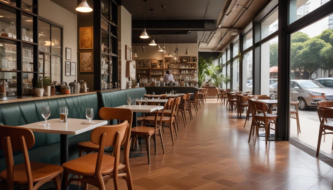
São Paulo's transport networks do more than move millions daily—they weave together the social fabric of the city's most distinctive neighbourhoods. Step onto the Linha Vermelha during rush hour and you'll witness the organised chaos of Tatuapé's working-class rhythm, where office workers and service industry staff jostle alongside university students. The red line, carrying roughly 750,000 passengers daily, has become an unofficial meeting ground where informal commerce thrives: vendors selling coffee in plastic cups, phone chargers, and hand-knitted keychains between Bom Retiro and Brás stations.
Meanwhile, in Vila Madalena, the transport experience tells an entirely different story. The neighbourhood's transformation over the past decade is visible not just in its graffiti-covered walls and craft breweries, but in how residents move through it. The Línha Amarela's integration with the neighbourhood's expanding ciclovias—over 85 kilometres of bike lanes now crisscross the city—has created a distinctly bohemian commuting culture. Weekend mornings see families cycling to the Feira de Arte e Artesanato on Rua Benedito Calixto, their baskets filled with fresh grocers from the neighbourhood's cooperatives.
The economics of commuting further illuminate neighbourhood identity. A monthly travel pass costs approximately R$136, yet residents in affluent Jardins neighbourhoods increasingly opt for private vehicles, creating isolated commuting bubbles that contrast sharply with the communal experience on public transport. In contrast, Pinheiros and Lapa residents embrace the integrated metro-bus system, creating a culture of transit flexibility that defines their neighbourhoods' livelier, more walkable character.
Graça Aranha, in the central zone near Bom Retiro, has experienced genuine revival partly due to improved transport connectivity. The Linha Vermelha's expansion has democratised access, bringing new residents and energy to streets that were previously isolated. Street-level vendors now compete with newly opened neighbourhood restaurants, creating genuine commercial diversity that reflects the area's evolving identity.
Perhaps most tellingly, the informal networks that organise themselves around transport hubs reveal neighbourhoods' true social structures. At República station, NGOs like the Associação Antônio Vieira operate outreach programmes during peak hours. In contrast, Vila Madalena's cycling community has organised regular group rides through Imigrantes Avenue, transforming transport into leisure and community building.
São Paulo's neighbourhoods aren't defined by postcodes alone—they're sculpted by how their residents move through them, the strangers they meet daily, and the informal economies that flourish in the spaces between destinations. The commute, ultimately, is the community.
This article was compiled by AI from the sources linked above and screened before publishing. See our editorial standards.
How does this story make you feel?
Spread the word
About this article
Published by The Daily São Paulo
Daily brief
Free, in your inbox before 7am. Weekdays.
More in lifestyle